
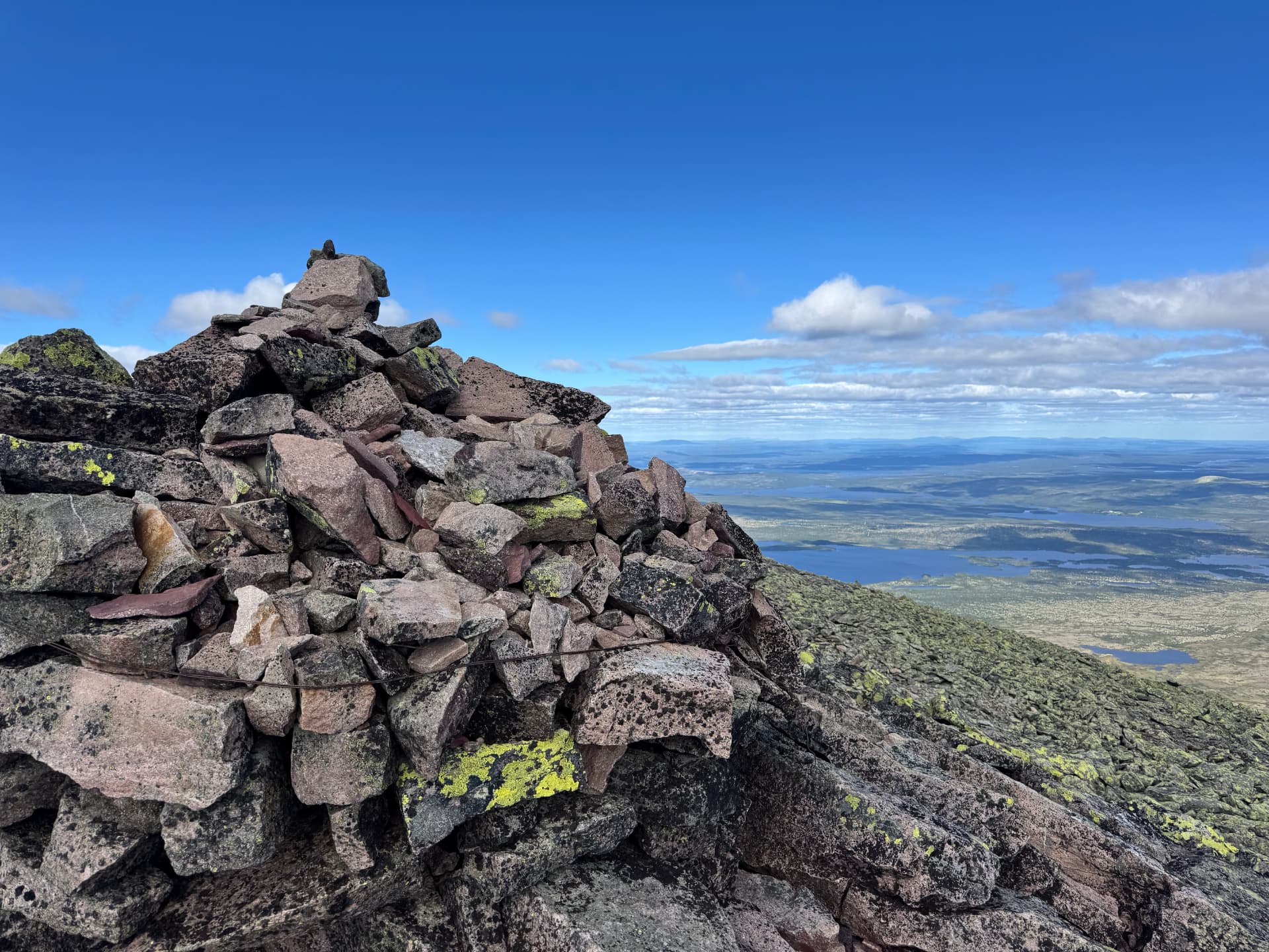
Mount Sølen — the region's most rewarding 1,755 m summit hike
Sølentoppen rises to 1,755 metres above sea level in Rendalen, and of all the summit hikes in the region around Drevsjø, Femund and Rendalen it is — in our view — the one that gives you the most breathtaking view. It is also the most demanding day out. This is the story of our July 2026 trip from Forest Ranger Farm.
A mountain shaped like a saddle
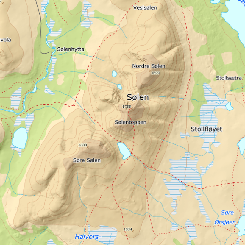
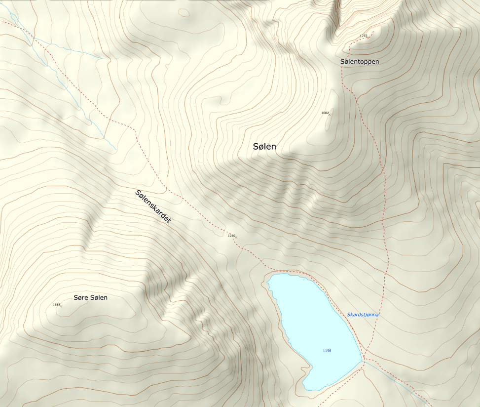
What makes Sølen so distinctive is a large V-shaped notch cutting straight through the massif. The gap — Sølenskardet — is so pronounced that you can spot it from tens of kilometres away, and clearly from the air. The lowest point in the notch sits at 1,250 m, while the two summits on either side rise to 1,755 m (Sølentoppen) to the north and 1,681 m (Søre Sølen) to the south.
The notch gives the mountain the silhouette of a saddle — which is also where the name comes from. Sølen derives from the Old Norse sǫðull, meaning saddle.
Protected landscape and reindeer heritage
Sølen landskapsvernområde — the Sølen Protected Landscape Area — was established by royal resolution on 8 February 2011 and covers 456.4 km², all of it within Rendalen municipality.
The area holds significant cultural heritage tied to ancient trapping systems for wild reindeer and moose. Reindeer were the reason the first people settled here — and reindeer still live here today: the Rendalsrein herd roams the same ground.
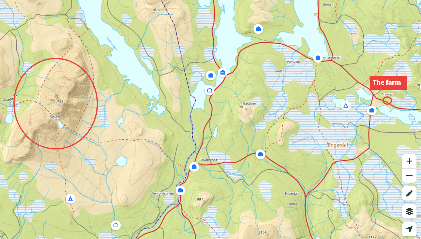
Getting there from the farm
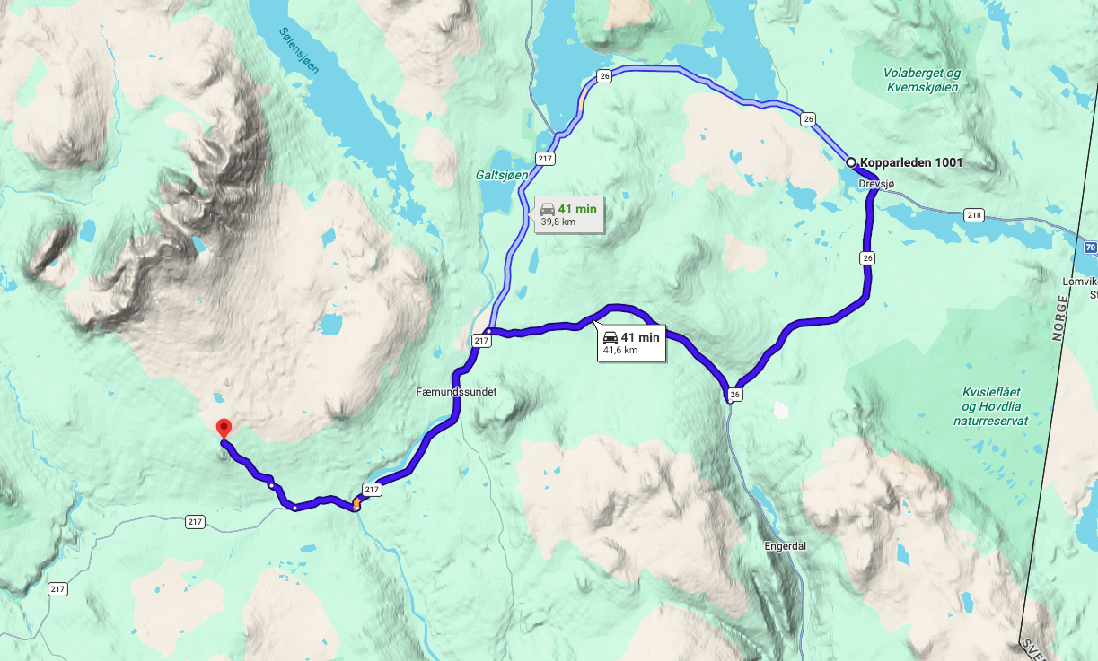
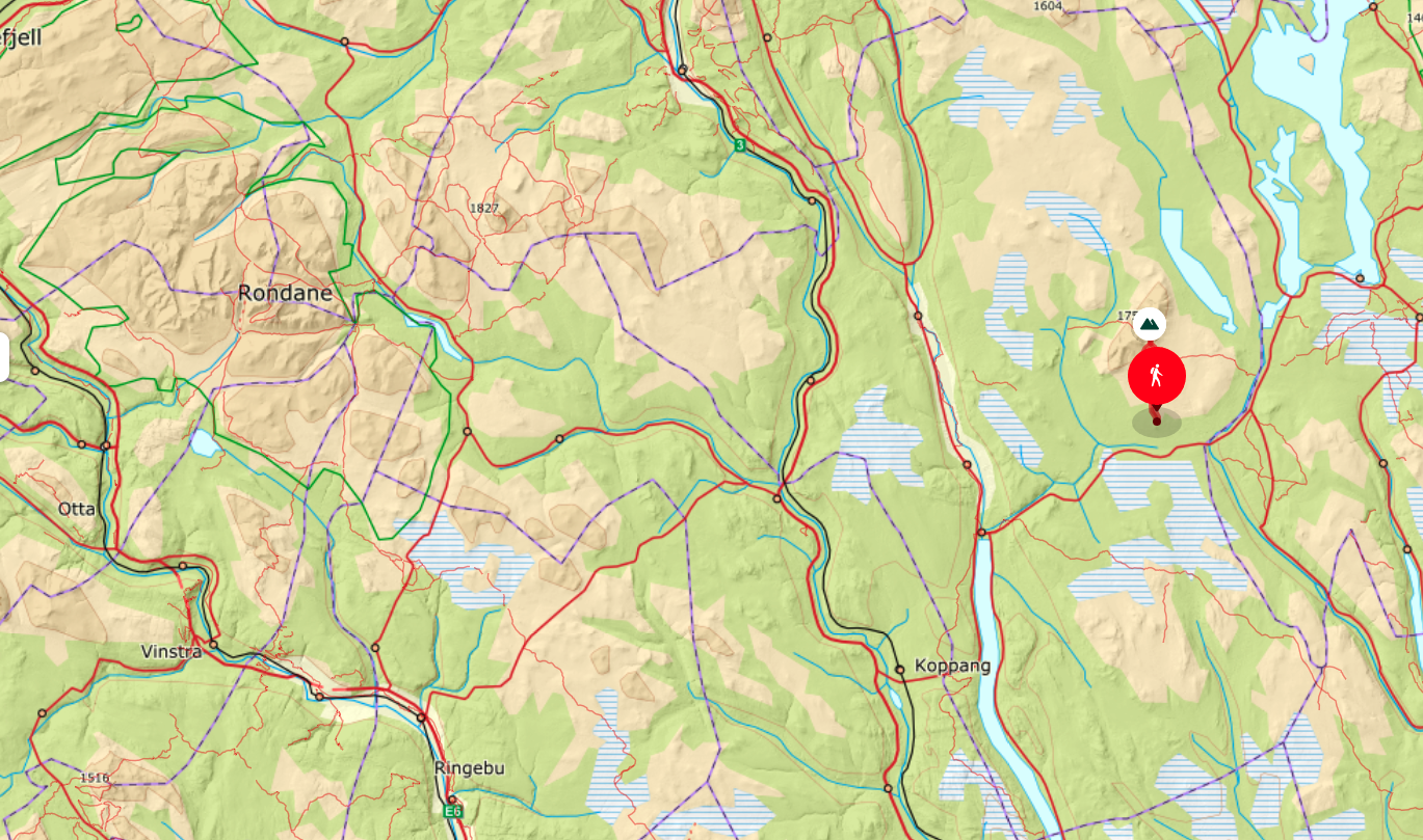
The trailhead at Gravåsen Parking is about a 41-minute drive (41.6 km) from Forest Ranger Farm. The final stretch is a private toll road with a tollbooth at the start — the fee is NOK 100.
Open Google Maps directions from the farm
The route
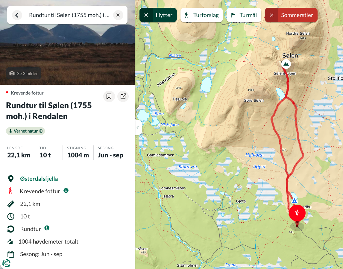
The round trip is roughly 22–23 km with about 1,004 m of ascent, and takes most parties 8–10 hours. Season is June to September. It is rated demanding and suits experienced hikers with good stamina and proper mountain boots.
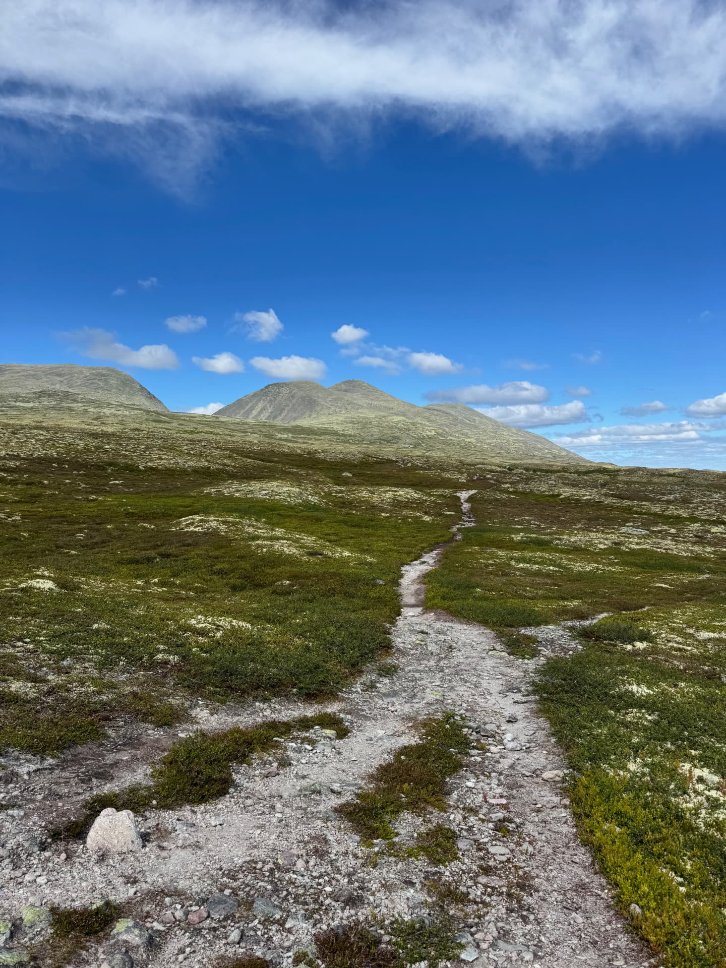
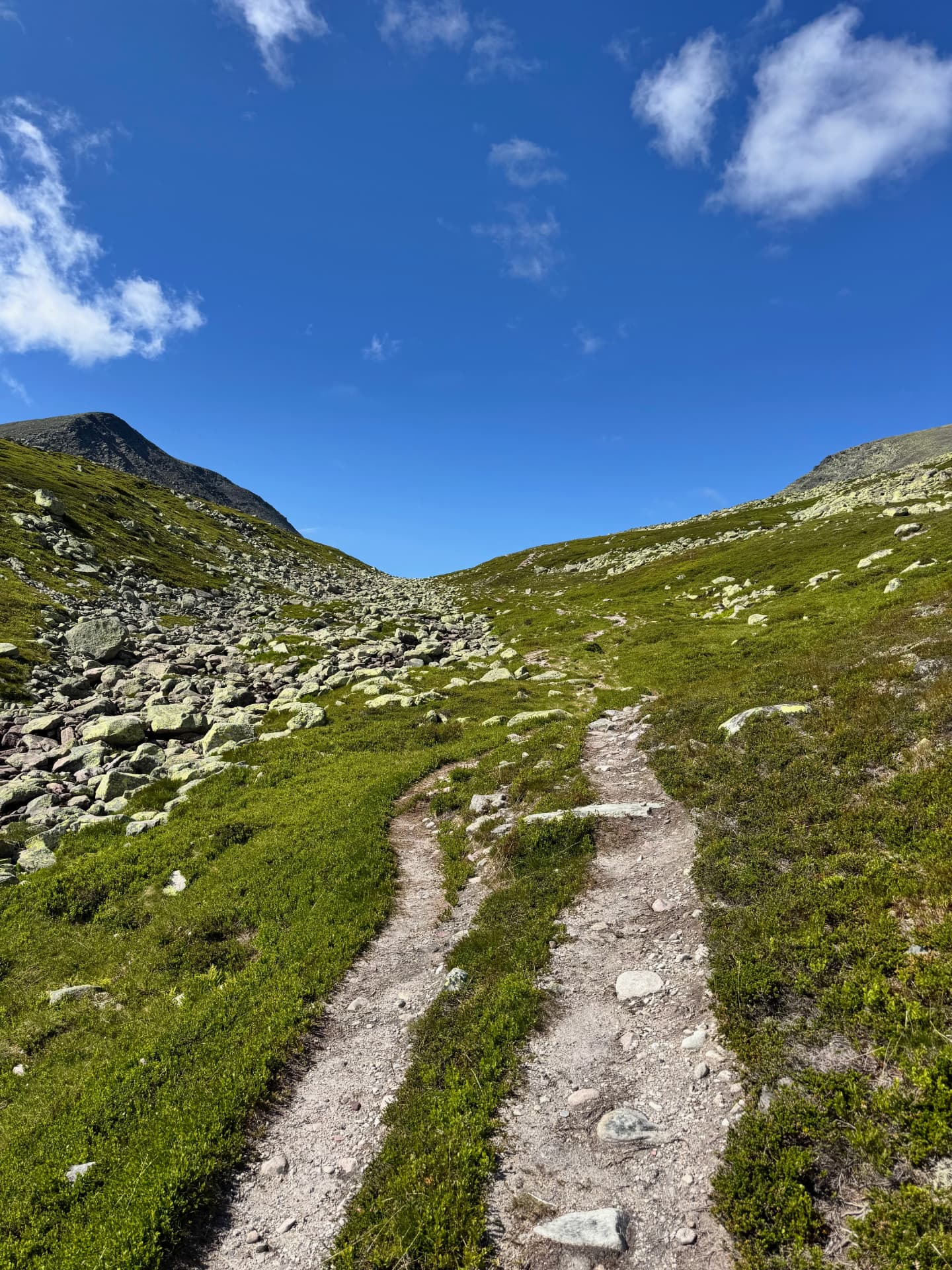
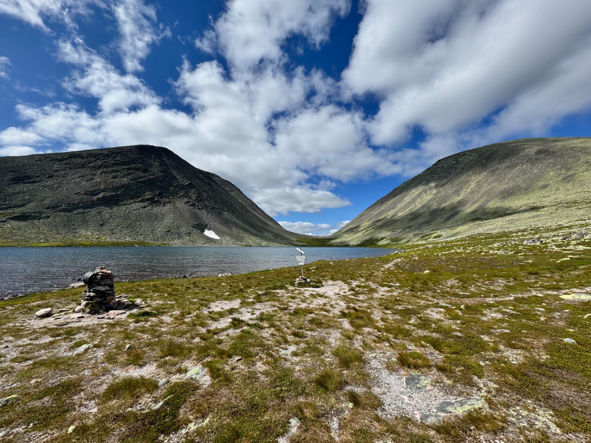
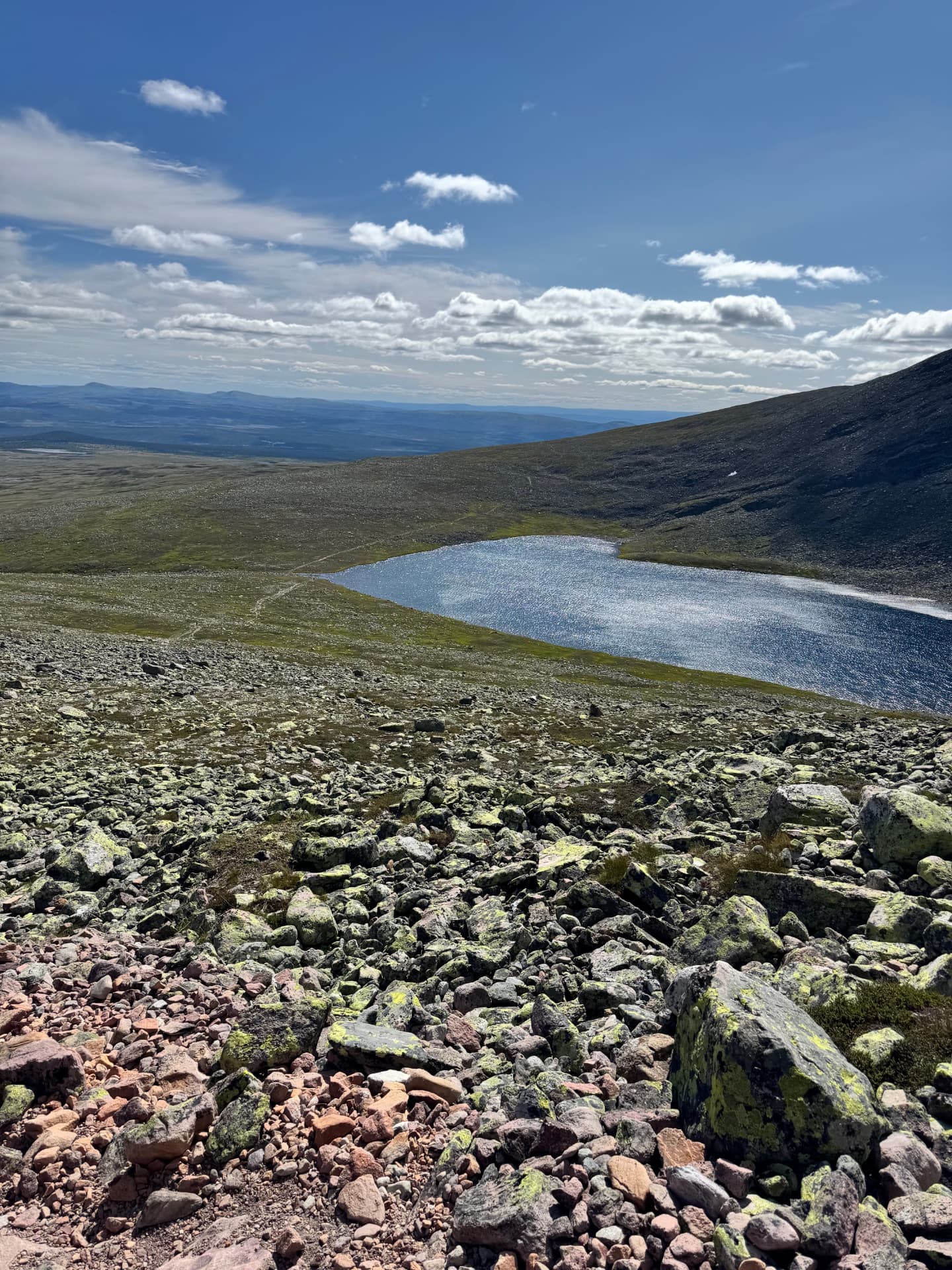
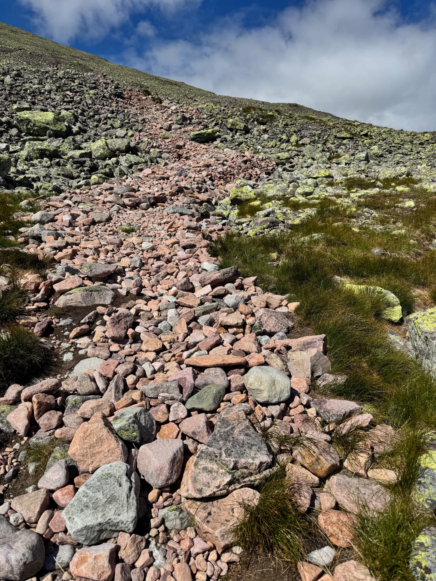
The trail follows a marked path in open terrain for the first stretch. After roughly 7–8 km a steep climb starts, up to the small mountain lake Skardstjønna. From there, a very steep push through a demanding boulder field takes you to Sølentoppen. It is not climbing, but it is steep, and you have to pick your way through a mix of small and large stones.
Split it over two days
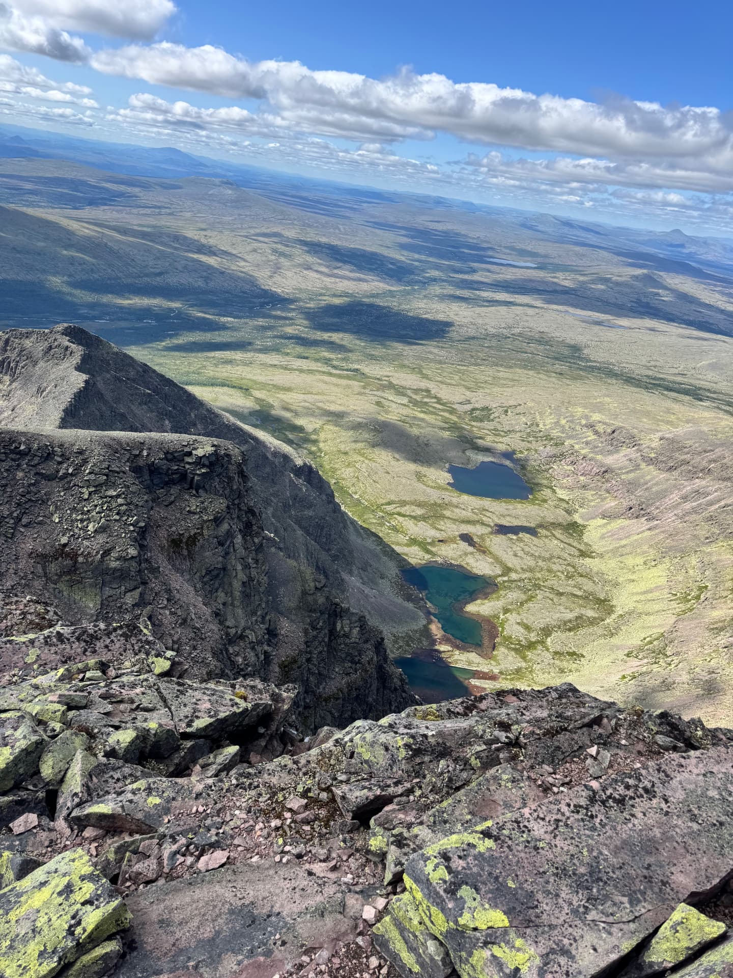
Some hikers turn this into a two-day trip with an overnight at Skardstjønna. You can fish in the lake, and there is something special about camping at the water so close under two big peaks — Søre Sølen on one side, Sølentoppen on the other.
Bring poles
I would absolutely recommend doing this hike with trekking poles. They save your knees and give real extra support both going up and coming back down from Sølentoppen — especially in the boulder field.
The view from the top
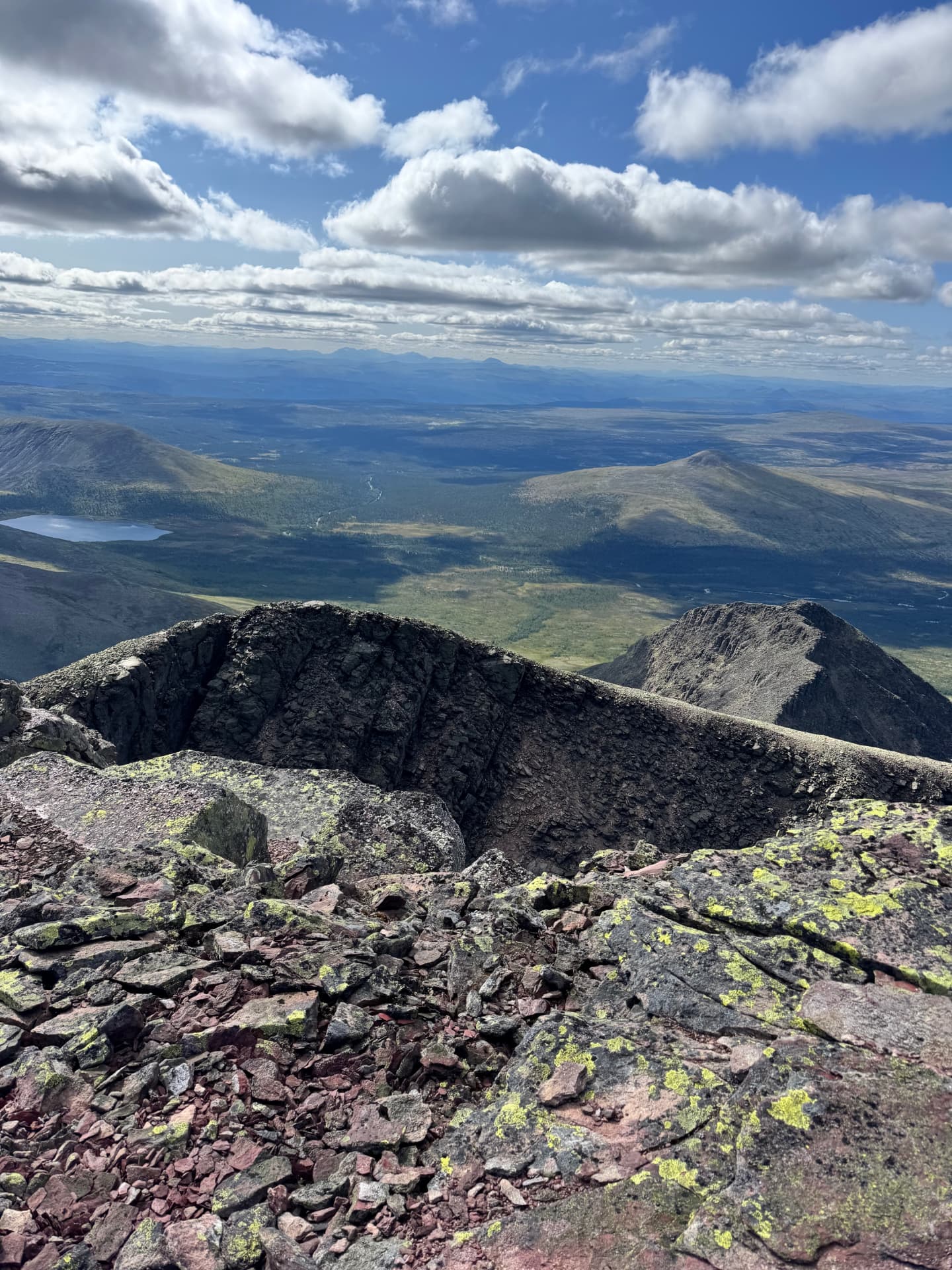
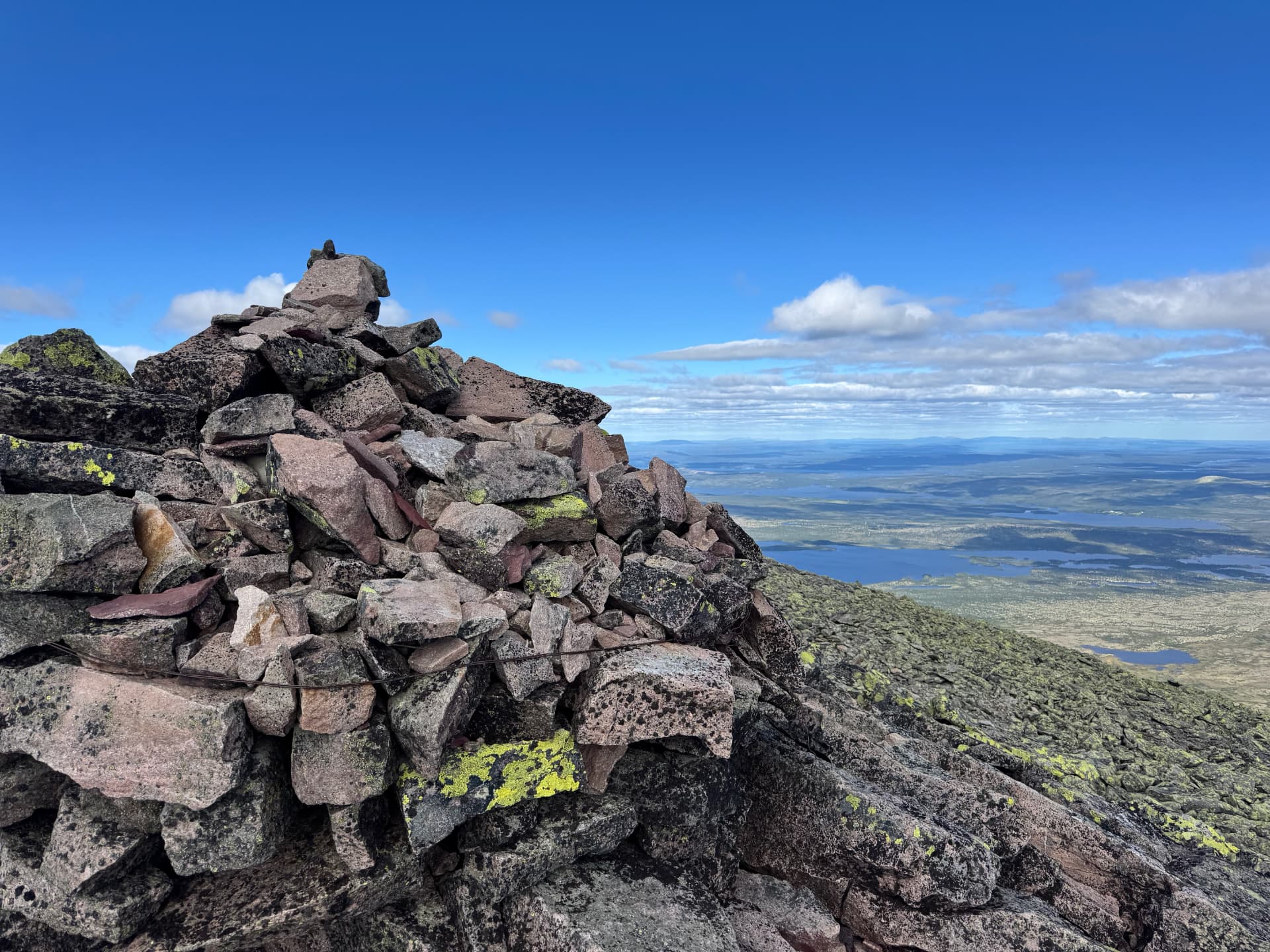
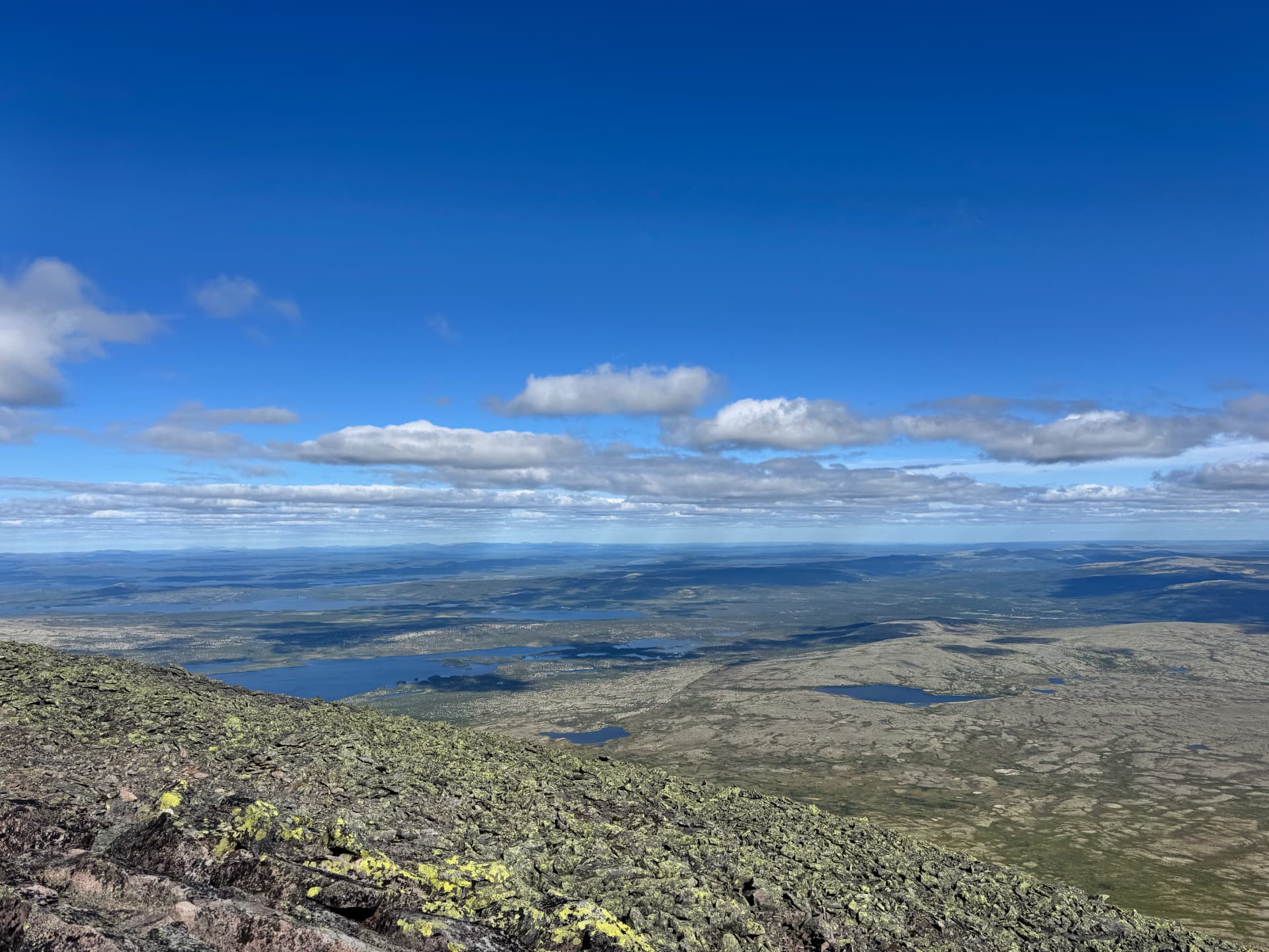
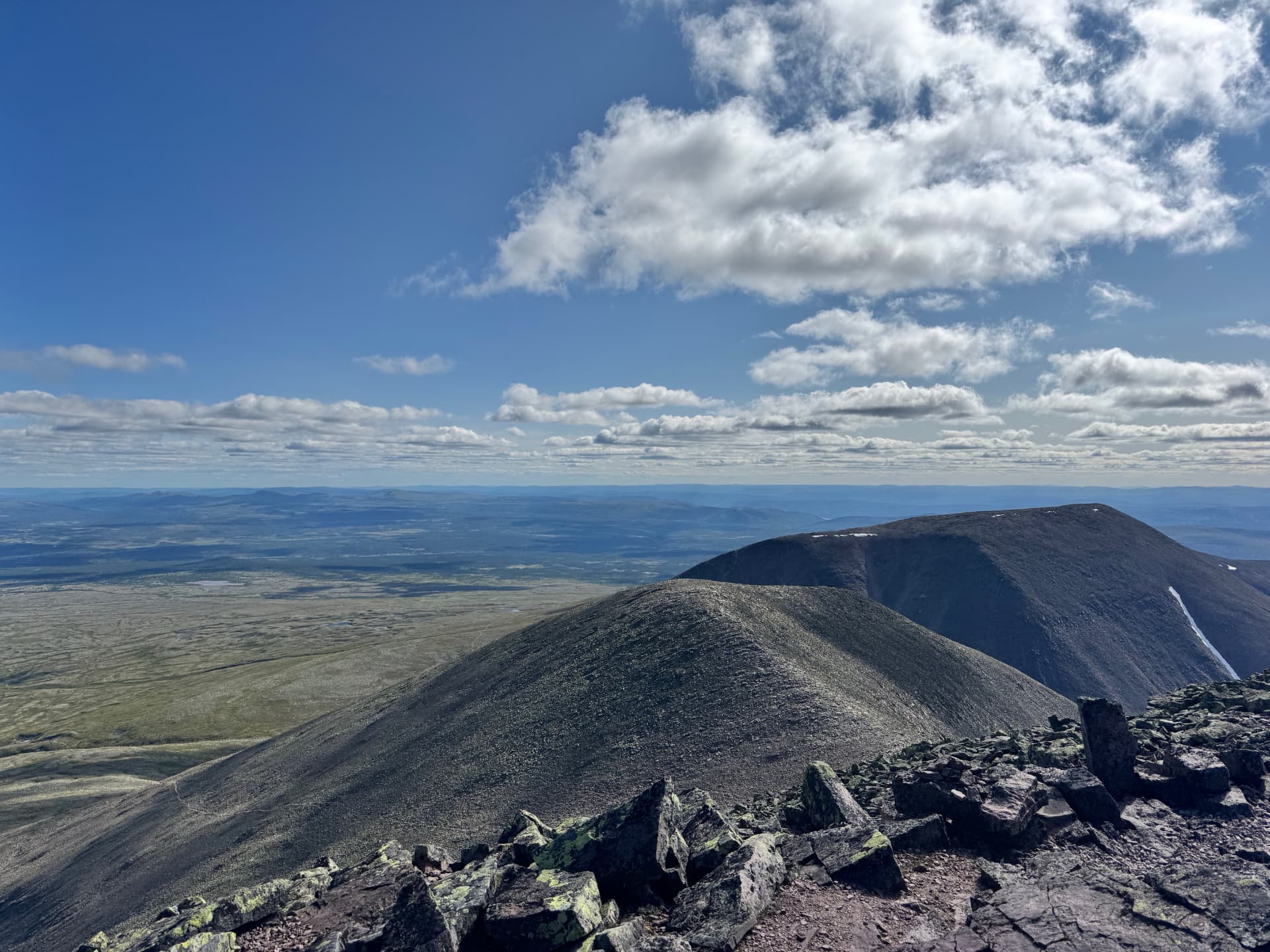
When you finally step onto Sølentoppen you are rewarded with a view that is genuinely hard to describe. It is a full 360° panorama, and you look down on other high mountains. On a clear day you can see all the way to Rondane in the west and far into Sweden to the east. All the effort of getting up there is quickly forgotten.
Coming back down
Take your time on the descent — the boulder field is where most twisted ankles happen. Once you are back down at Skardstjønna, the return leg becomes noticeably easier.
Always check the weather first
Weather warning. A 1,755 m summit has very different weather from the valleys below. Wind, cloud and temperature can shift quickly on Sølen, and a demanding hike can turn into a dangerous one if the weather closes in. Always check the forecast the day of your hike, and be willing to turn back.
Detailed Sølen forecast on yr.no.
The most rewarding view in the region
Of all the summit hikes around Drevsjø, Femund and Rendalen, Sølentoppen is the one that will give you the finest view — and, in our experience, also the most demanding. If you want a shorter, family-friendly alternative on the same kind of mountain plateau, see our guide to Mount Kvitvola. For everything else there is to do around the farm, have a look at the Activities page or the rest of the blog.
Photos from the trip
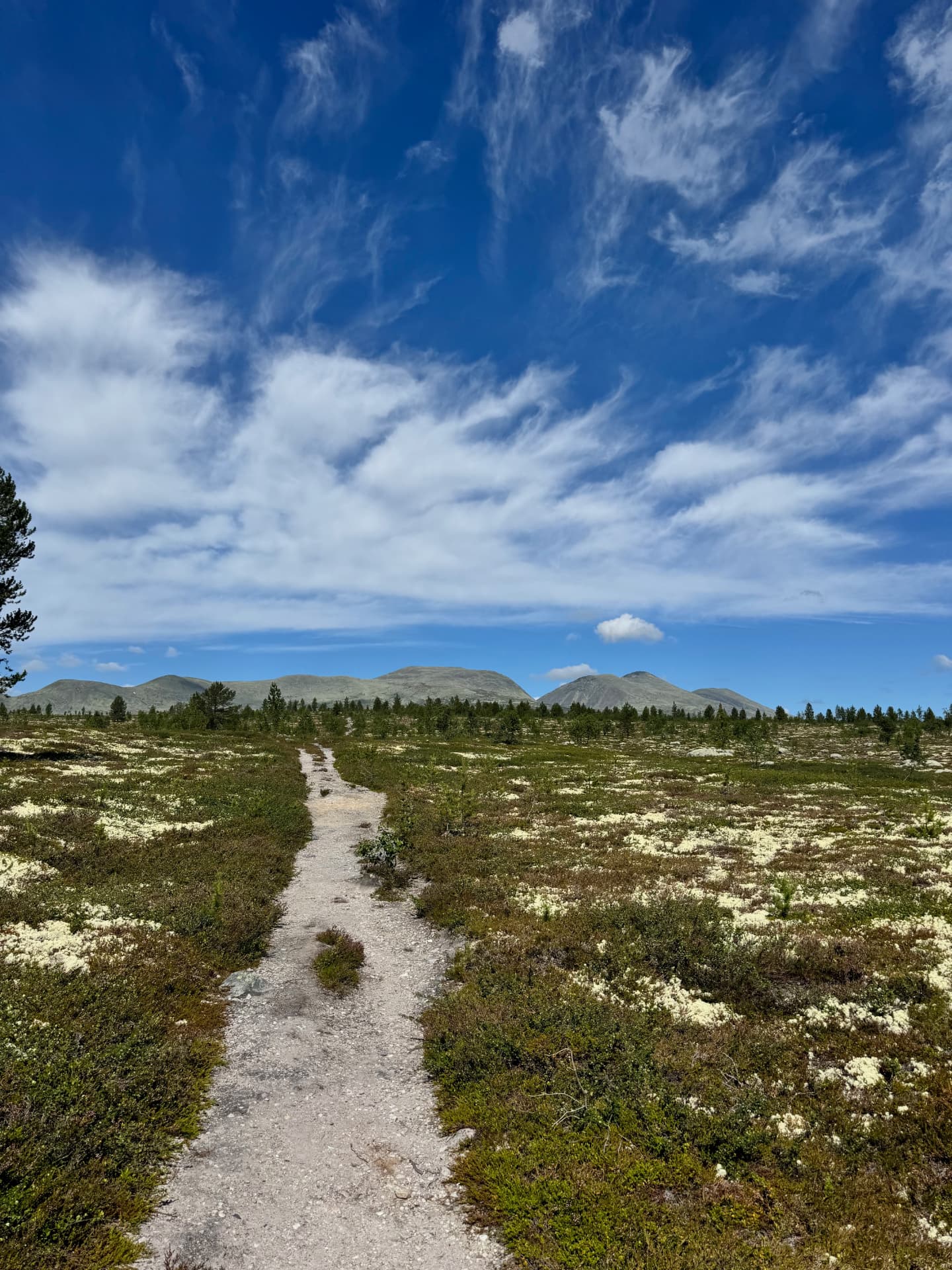
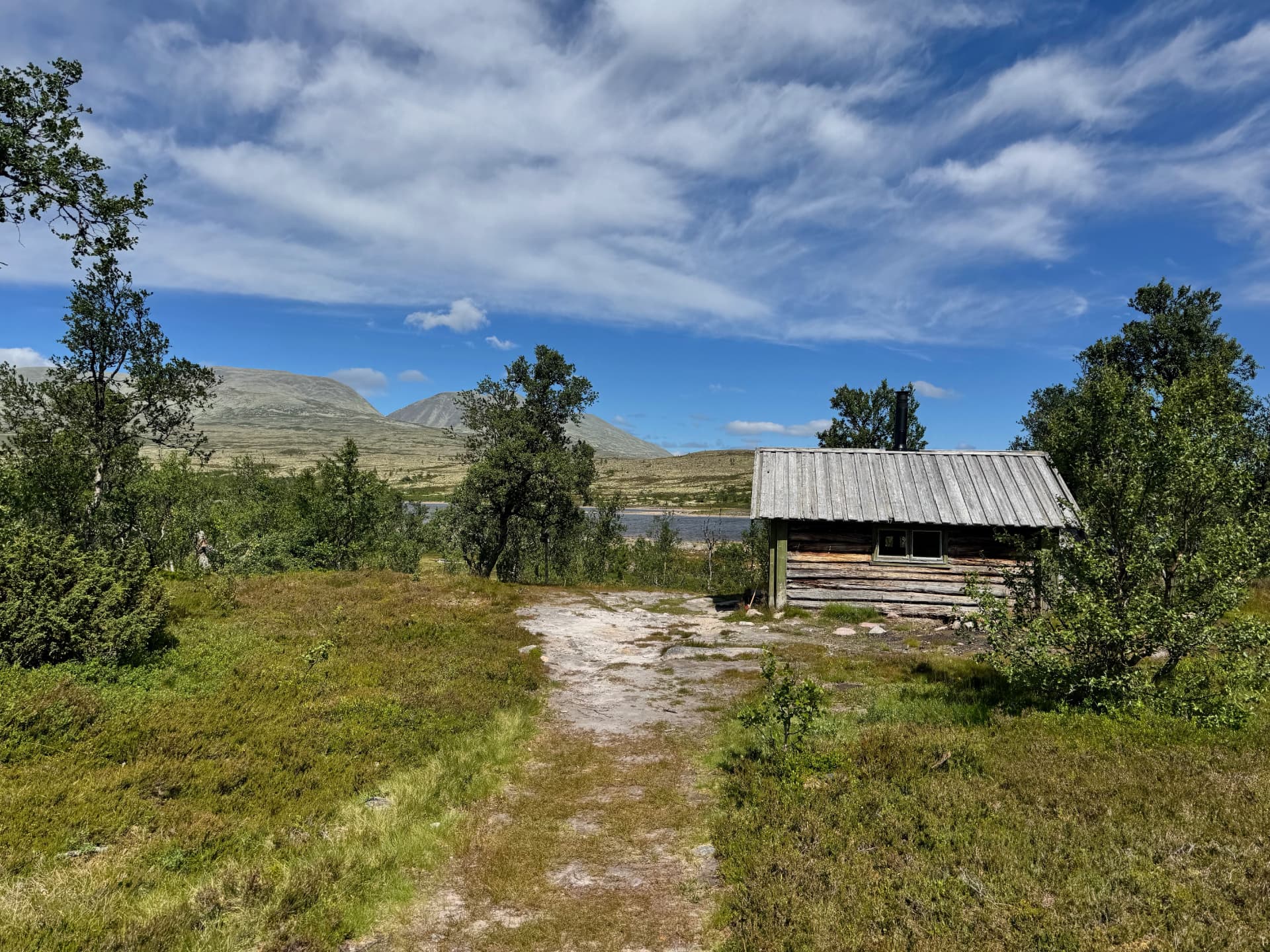
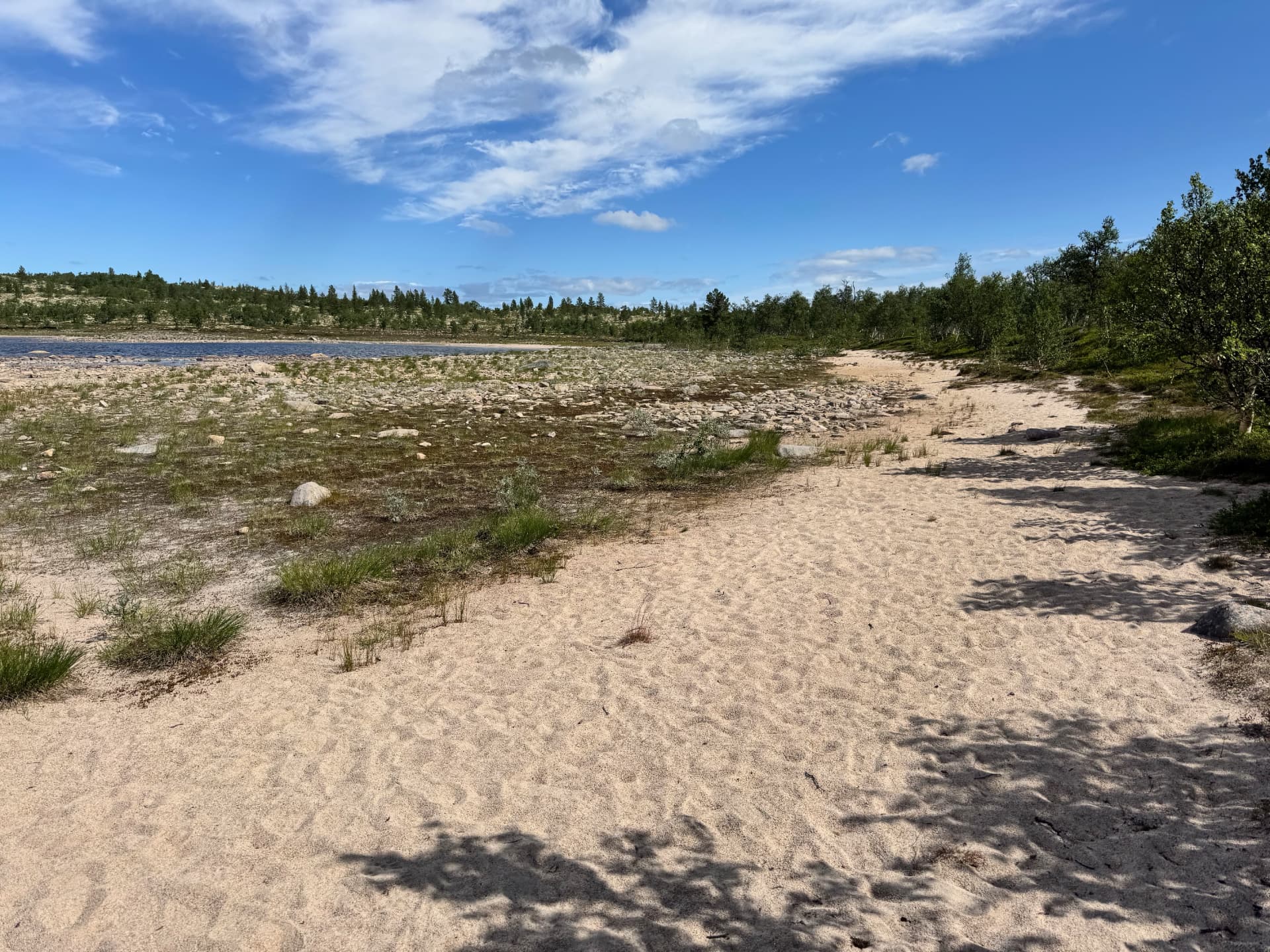
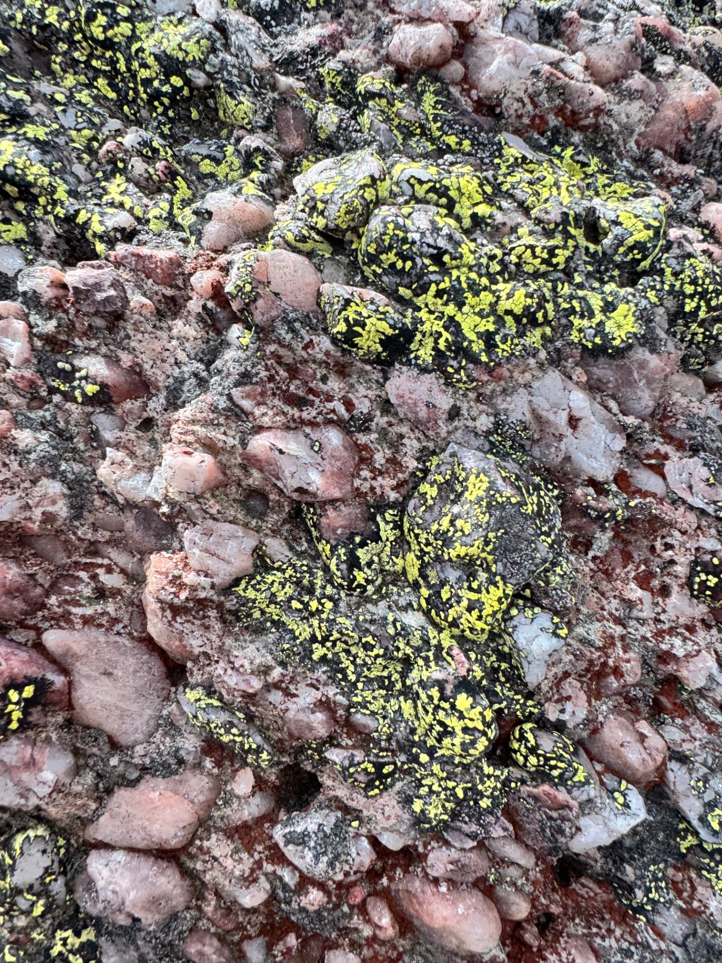
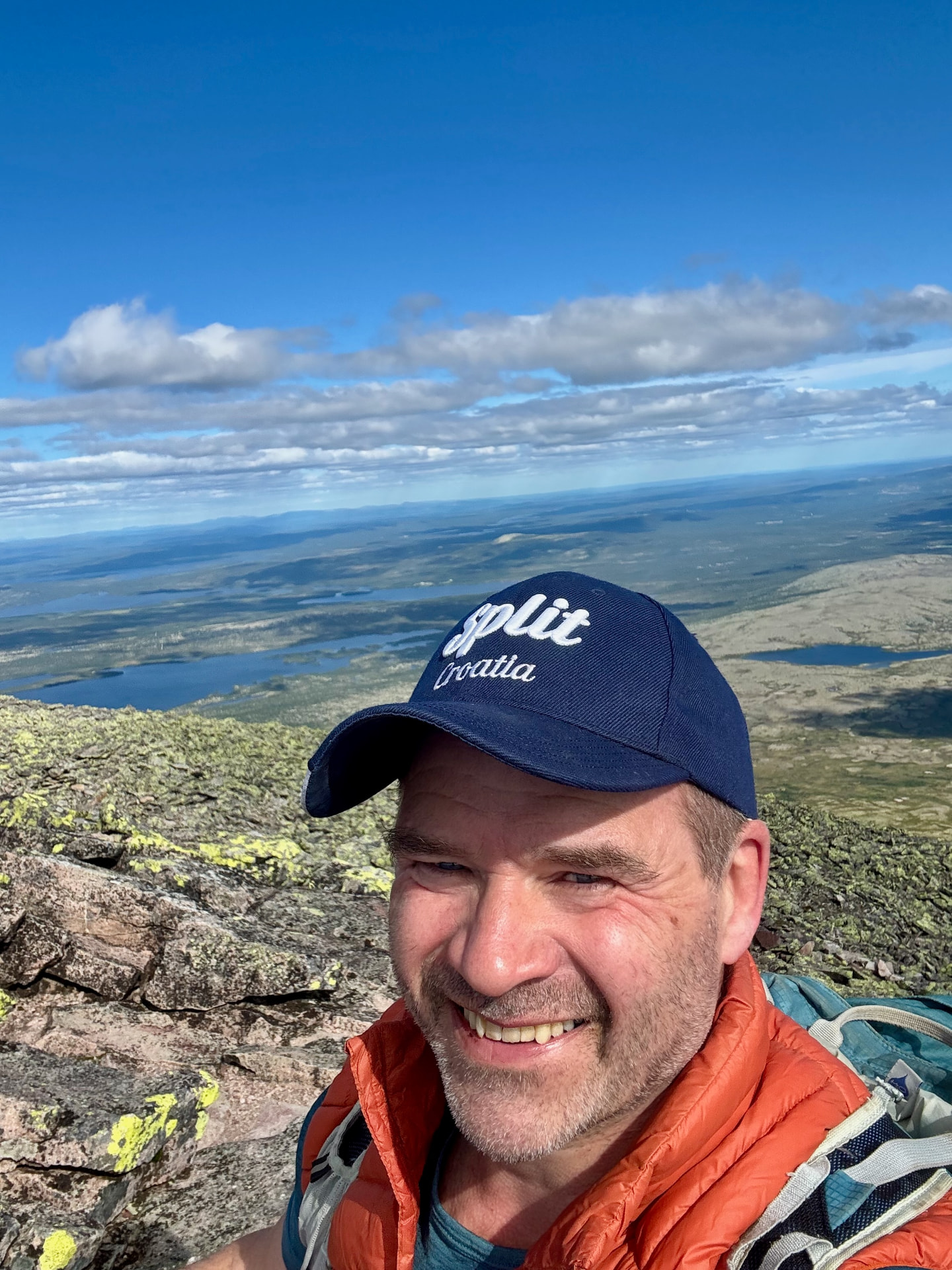
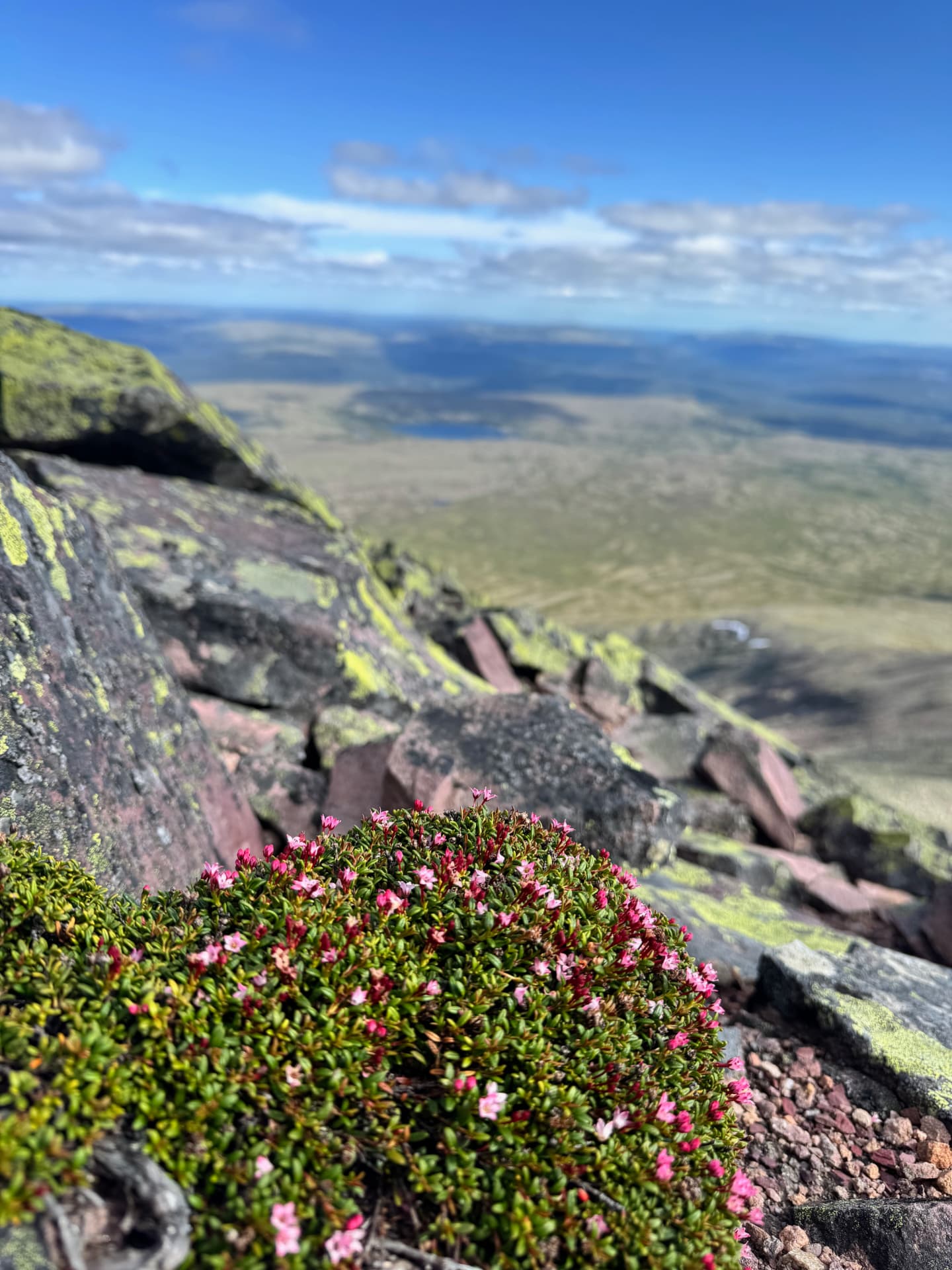
Sixteen shots from the 19 July 2026 round trip, in order — from the trailhead at Gravåsen Parking all the way up to Sølentoppen and back.
Stay at the farm
Sølen is one of the great day trips from Forest Ranger Farm — an old Norwegian government forest ranger home, restored and surrounded by forest and wildlife.